

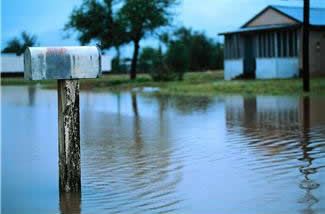
3.4 Inundation Maps
Since CHPS is highly configurable, there are several options for output and products. Inundation mapping is an example of an additional product CHPS can produce. An inundation map depicts the area covered by water when a river stage is at a certain level.
Flood Mapping Module
CHPS comes with a flood-mapping module, which produces two-dimensional maps outlining inundated areas.
Before running the flood mapping module, you must obtain georeferenced cross sections (to correlate the model results with a location on the map), a digital elevation model (DEM), and a shapefile of the river in order to use the Flood Mapping module.
The digital elevation model is derived from a laser altimetry survey (LiDar). Contact your regional office to see if a survey of your area has been done.
For more information on the flood-mapping module, click the reference link below.
Note: None of the RFCs use the Flood Mapping Module (as of 08/2012). Training will be updated as more information becomes available.
Using ArcGIS
ArcGIS is another option for creating inundation maps. Use the output from CHPS in ArcGIS to create these maps. Knowledge of GIS, in addition to CHPS configuration and system management skills would be required. Follow the feature request for this function by clicking here.
Note: This training will be updated when more information about using FEWS output in ArcGIS becomes available.
Collaborate! A universal solution for inundation mapping is not currently used in the RFCs, but there are a couple of options to explore. Communicate with your team and other RFCs to create procedures for inundation mapping to share with other offices.
Reference: Flood Mapping module (Deltares wiki)
Instructions: Click here to display regular course navigations once you have clicked on each link.