| {column0} |
| {column0} |
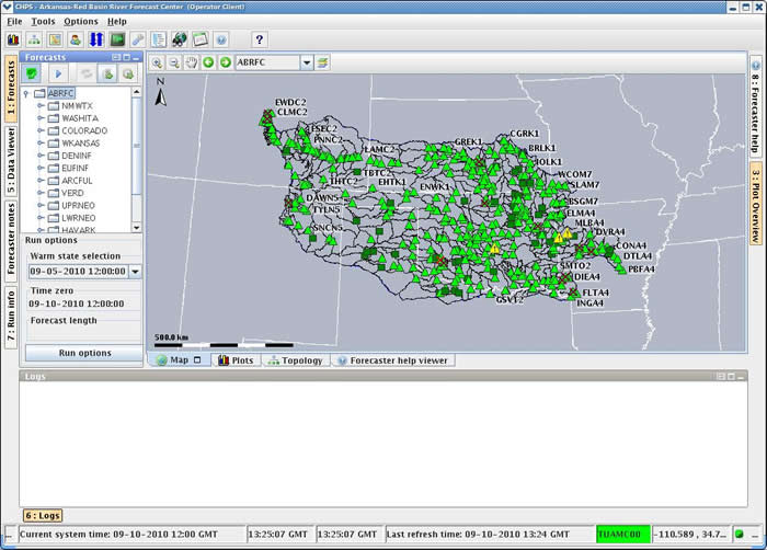
 Some offices are using another collaboration tool, the Community Hydrologic Prediction System (CHPS), to interact with River Forecast Centers (RFCs).
River Forecast Centers use CHPS, a hydrologic modeling system, to produce the forecast guidance your office uses to create hydrologic products.
The image on the right is the main CHPS interface. Hint: Click on the image to enlarge/shrink.
WFOs have indirect access CHPS to provide input and feedback on the forecast.
Use of CHPS is typically event-driven. For example, providing forecast input prior to a heavy precipitation event.
Contact your servicing RFCs to see if they can support WFO use of CHPS. See the referenced materials for more information on CHPS.
References: Introduction to CHPS Course | WFO CHPS User Course