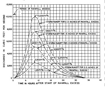
Flood Hydrology Manual,
WRTP,USGS,1989 - Dept. of Interior, pg65
 The flow of a river is quite irregular when considered over long time periods.
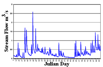 There are three major steps required to forecast the hydrograph that results from a rainstorm or period of heavy snowmelt.
|
|
A.G.Cudworth, Flood Hydrology Manual, WRTP,USGS,1989 - Dept. of Interior, pg65 |