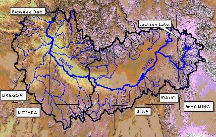
Models are typically applied on a lumped basis using a 6-hour computational time interval.
Large watersheds and areas with a significant elevation range are frequently subdivided into two or three zones.

The models need to be calibrated for a specific forecast point.
The calibation process typically includes these steps:
- gather data
- obtain initial parameter values from a similar nearby basin or derive using physiographic information and hydrograph analysis
- trial-and-error adjustment of parameter values
- automatic optimization
In many cases, a single parameter set can be used over an entire region.
A proper calibration is essential for accurate extended forecasts.


